
How to plan a road trip: route, legs and buffer
In short
Plan a road trip from the frame inward: first start, end and number of days, then the route as one line, a daily limit of at most 3 to 4 hours of pure driving plus a third on top, two nights where there is most to do, and one buffer day a week. The example loop from Lisbon via Évora, the Algarve and the Alentejo coast covers 741 km and about 10 hours of pure driving in 10 days.
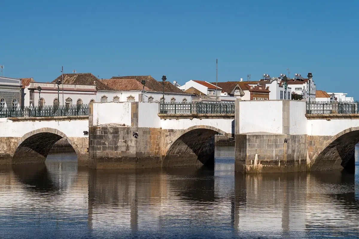
A road trip is the freest way to travel – and the one where planning matters most. Too many kilometres a day and you only see the landscape through the windscreen. Too little buffer and a roadworks detour or one beautiful place too many throws the whole plan off. This guide shows a six-step method you can use for any road trip and works it through on a real example route: ten days from Lisbon through the Alentejo, down to the Algarve and back along the Atlantic coast.
Step 1: Set the frame
Before you open a map, settle three things:
- How many days do you really have? Subtract the arrival and departure days if you fly. With a week off, you often have only five full days on the road.
- Loop or one way? A loop ends where it starts – handy for a hire car. A one-way route from A to B saves the drive back, but many rental companies charge a one-way fee for returning the car somewhere else.
- Own car or hire car? With a hire car, the pick-up and drop-off points set the frame of the route.
Step 2: Plan the route as one line
First, put every place that appeals to you on a map. Then connect them into a line or a loop – without going back and forth. Places that lie far off the line are better dropped than worth a whole day of backtracking. A good test: if you drive the same road twice, the route is not finished yet.
In a common maps app you can enter several stops in a row and see the distance and driving time of the whole route. That is enough for a first overview. For the actual planning, though, you need the time per leg, not the total.
Step 3: Set a daily driving limit
This is the most important step. A limit of at most 3 to 4 hours of pure driving a day works well, and much less on days with a lot to see. Route planners calculate without breaks, fuel stops, photo stops and looking for parking. So add about a third to the pure driving time. Three hours become four – and that is already a lot for a holiday day.
Also take regular breaks, roughly every two hours, and swap drivers if there are two of you.
Step 4: Choose your overnight stops
Pick the places to stay by two rules:
- Two nights where there is most to see. Every change of hotel costs time for packing, checking out and checking in. In places with a lot to do, or as a base for day trips, two nights are better.
- Think about parking. In old towns, parking is scarce and access is often restricted. Accommodation with parking at the edge of the old town saves a lot of hassle.
Book the places with the highest demand first – in high season often on the coast.
Step 5: Build in a buffer
Plan one day a week without a fixed leg. It absorbs rain, a breakdown, a tired day or a place where you want to stay longer. Without a buffer, you end up cutting the best part.
Step 6: Prepare for daily life on the road
Before you set off, check tolls, low-emission zones and parking rules in your destination, save the map offline and place timed tickets so they do not fall on a long driving day. Our article Offline maps for travel explains what to put on your phone.
Example: 10 days in Portugal from Lisbon
This is what the method looks like on a real route. The loop starts and ends in Lisbon; we calculated the driving time for every leg.
| Day | Leg | Distance | Pure driving time | + a third |
|---|---|---|---|---|
| 1–2 | Lisbon, no car | – | – | – |
| 3 | Lisbon → Évora | 133 km | approx. 1:40 h | approx. 2:10 h |
| 4 | Évora | – | – | – |
| 5 | Évora → Mértola | 132 km | approx. 2:00 h | approx. 2:40 h |
| 6 | Mértola → Tavira | 92 km | approx. 1:15 h | approx. 1:40 h |
| 7 | Tavira and the eastern Algarve | – | – | – |
| 8 | Tavira → Lagos | 109 km | approx. 1:20 h | approx. 1:45 h |
| 9 | Lagos → Vila Nova de Milfontes | 90 km | approx. 1:30 h | approx. 2:00 h |
| 10 | Vila Nova de Milfontes → Lisbon | 184 km | approx. 2:25 h | approx. 3:15 h |
In total that is 741 km and about 10 hours of pure driving. Driving times: route calculation based on OpenStreetMap, without breaks.
- Lisbon
- Évora
- Mértola
- Tavira
- Lagos
- Vila Nova de Milfontes
Base map: Natural Earth
What the method does here: driving from Évora via Mértola to Tavira in one day would be just over 3 hours of pure driving, over 4 hours with the extra third – hence the night in Mértola. Lisbon needs no car, so you pick up the hire car only on day three, for example via Economybookings, which compares hire cars in Lisbon*. Évora and Tavira get two nights because there is most to see. The longest leg is on the last day, when only returning the car is left. This version has no buffer day – if you want one, add an eleventh day in Lagos.


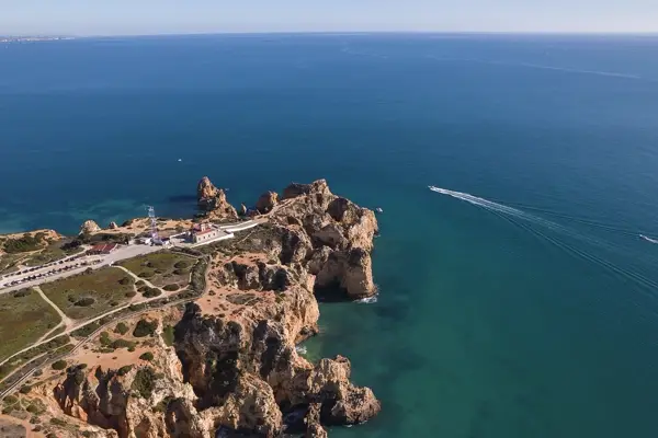
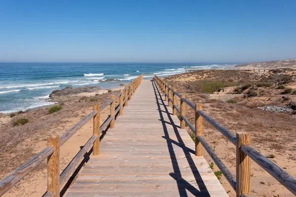
In Portugal, tolls on some motorways are collected electronically only. Ask when you pick up the hire car how tolls are charged. To see rental car offers in Portugal from several companies side by side, try QEEQ, for example.
The big two-week loop from Porto down to the Algarve is in our article Portugal road trip.
Which tool for what?
| Tool | Good for | Less good for |
|---|---|---|
| Paper or spreadsheet | overview of days, legs and budget | driving times, map |
| Maps app with stops | route and total driving time, navigation on the road | day plan, overnight stays, tickets |
| Trip planner app | day plan per place, sights, tickets in one place | exact driving times on the road |
Most road trips work best with a combination: the maps app for the drive, a planner for everything that happens between drives.
How YesTrip helps on a road trip
YesTrip is a free trip planner and covers the second part. A trip can have several cities, each with its own days. For every day, the AI suggests a plan with times that you move, shorten and add to. On the explore map you find about 6,500 sights with photos and add them to your trip with a tap.


On the road, the Today view shows the next stop, the weather and a reminder when it is time to go. “Start route” opens the way in your phone's maps app – on foot, by public transport, by car or by bike. With the offline package, the map around your stops is on your phone even without signal.

To be honest: YesTrip is not a road route planner. The ways between stops in the plan are estimates; the app does not know about tolls, roadworks or traffic. For the legs themselves, use a navigation app and add a third as described above.
For a tour with many stops, note the limit of 9 stops explained in Plan a trip with Google Maps.
If you're driving on the left abroad, Countries that drive on the left has the list and tips for your first drive.
* Ad – Partner link: if you book there, we earn a commission. Your price stays the same.
Free
Plan your trip in 30 seconds.
Tell YesTrip where and when – the app plans day by day with real places on the map, shows the weather, splits costs with your travel companions and guides you to the next stop on the go.
Frequently asked questions
How do I plan a road trip?
First fix the days, start and end, then put every place you want to see on a map and connect them into a line or a loop. Set a limit of at most 3 to 4 hours of pure driving a day plus a third on top, stay two nights where there is most to do and plan one buffer day a week.
How many kilometres a day make sense on a road trip?
It depends more on the road than on the kilometres. On motorways you cover far more in three hours than on mountain roads. So go by pure driving time: at most 3 to 4 hours a day, and about a third more with breaks and photo stops.
Can I plan a road trip with a maps app?
For the route, yes: in common maps apps you enter several stops and see the distance and driving time. For overnight stays, day plans and tickets you also need a list, a spreadsheet or a trip planner.
Is there a free app to plan a road trip?
Yes. YesTrip is free and plans trips with several cities, a day plan per place and a map of sights. You navigate the drive itself with your phone's maps app, because YesTrip does not calculate road routes with traffic.
How long does a road trip through Portugal take?
The example loop from Lisbon via Évora, the Algarve and the Alentejo coast covers 741 km and about 10 hours of pure driving and fits into 10 days. For the big loop from Porto to the Algarve, plan about two weeks.
Sources
- Driving times: OSRM route calculation based on OpenStreetMap data – project-osrm.org
- Infraestruturas de Portugal: tolls and electronic toll systems – www.pttolls.com
Researched with AI support and checked by our editors. Prices, opening hours and weather can change – please check before you go. YesTrip is not a travel agency. Published: .
More articles
 Planning & packing
Cherry blossom Japan: when and where, by city
On 1991 to 2020 averages, cherry blossom opens in Tokyo on 24 March and reaches full bloom on 31 March, on 4 April in Kyoto, 13 April in … · 6 min read Planning & packing
Countries that drive on the left: all 54 listed
54 of 195 countries drive on the left, in Europe only the UK, Ireland, Malta and Cyprus. Japan, Thailand, India, Australia, New Zealand and … · 6 min read Planning & packing
Honeymoon destinations by month: 12 places
The right trip depends on your wedding month: January Maldives (27.9 °C, 74 mm of rain), March Cape Town (24.0 °C, 29 mm), June Amalfi Coast … · 7 min read


