
Yucatan itinerary: 10 days by rental car
In short
This Yucatan loop takes 10 days from Cancún via Valladolid, Chichén Itzá, Mérida, Uxmal, Campeche, Bacalar and Tulum and back to the airport, about 1,275 km. The longest leg is Campeche to Bacalar, 419 km and just over 6 hours of pure driving. January to March suits it best: Mérida has 28 to 33 °C and 16 to 25 mm of rain a month.
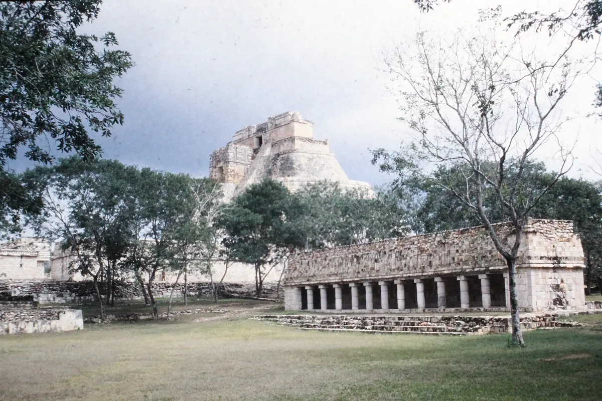
Most trips to the Yucatan never get past the Caribbean side. Yet Uxmal, Mérida and Campeche are out west, and those are what gets missed. So this route drives the whole loop and saves the sea for the end. It has exactly one really long leg, from Campeche to Bacalar, and how you handle that decides whether you need an extra night.
The route at a glance
| Day | Leg | Distance | Pure driving |
|---|---|---|---|
| 1–2 | Cancún airport → Valladolid | 154 km | approx. 1:50 h |
| 3 | Valladolid → Chichén Itzá → Mérida | 162 km | approx. 2:17 h |
| 4–5 | Mérida | – | – |
| 6 | Mérida → Uxmal → Campeche | 209 km | approx. 3:04 h |
| 7 | Campeche → Bacalar | 419 km | approx. 6:04 h |
| 8 | Bacalar | – | – |
| 9 | Bacalar → Tulum | 215 km | approx. 2:46 h |
| 10 | Tulum → Cancún airport | 117 km | approx. 1:31 h |
Driving times: route calculation based on OpenStreetMap, without breaks. Add about a third.
- Cancún airport
- Valladolid
- Chichén Itzá
- Mérida
- Uxmal
- Campeche
- Bacalar
- Tulum
Base map: Natural Earth
Safety: what applies to this loop
Mexico has a long list of states and areas the FCDO advises against, including Guerrero, Sinaloa and Zacatecas. The three states on this route, Quintana Roo, Yucatán and Campeche, are not on it. The Guatemalan border zone in Chiapas is, but it lies well away from this route.
That doesn't mean nothing happens. The FCDO describes assaults in Cancún, Tulum and Playa del Carmen and advises being very cautious after dark in those downtown areas, keeping to well-lit pedestrian streets and tourist zones. Drivers have two rules: use toll roads (cuotas) where you can, and stay off isolated roads. Germany's Foreign Office also warns against night driving on non-toll roads. Criminals posing as police have targeted rental cars, so ask for ID and a written fine. Advice changes; reread it before you go.
Days 1–3: Valladolid and Chichén Itzá
Don't start with a long drive if you land tired: spend the first night in Cancún if you need to and set off in the morning. Collect the rental car in Mexico* at the airport. If you'd rather not drive the first stretch, a transfer from the airport* gets you going and you take the car later.
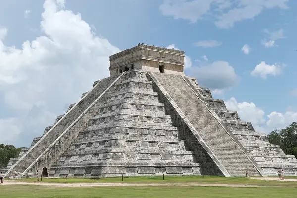
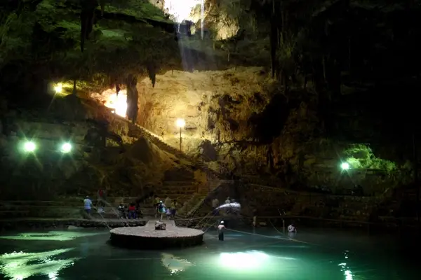
Valladolid is a colonial town of brightly painted houses with the San Bernardino monastery and a cenote right in town. It is also the best base for Chichén Itzá, only 42 km away and under an hour's drive. Arrive early, before the day trippers from Cancún. The Pyramid of Kukulkán, also called El Castillo, has been closed to climbing since 2006. The World Heritage site also includes the Sacred Cenote and the ball court. From there it is just over an hour and a half to Mérida.

Days 4–5: Mérida
Mérida is the capital of Yucatán state, founded in 1542, with some 920,000 people. You won't need the car for two days. Plaza Grande is the heart of the city, and the Paseo de Montejo has buildings in Italian and French styles. April and May are the hottest months, averaging close to 36 °C by day. Our guide to the best time to visit Mexico puts that in context.
Day 6: Uxmal and Campeche
Uxmal lies 62 km south of Mérida and, unlike Chichén Itzá, is the great example of the Puuc style. It has been a UNESCO World Heritage Site since 1996, along with the nearby ruins of Kabah, Sayil and Labna. Take the morning there, then drive on in under two hours.
Campeche is a walled port on the Gulf of Mexico and has been World Heritage since 1999. It is the only Gulf night on this route, and it also breaks up the journey before the long day ahead. Save your evening for a walk along the old walls.
Day 7: the long leg to Bacalar
Campeche to Bacalar is 419 km and just over 6 hours of pure driving across the south of the peninsula, a full day with breaks. Leave early, so you arrive well before dark. This is the day when the rule about night driving on non-toll roads really counts.
With an extra day, split it at Xpujil: 298 km and 4:26 h from Campeche, then only 1:40 h on to Bacalar. From Xpujil you can reach Calakmul, another Maya World Heritage site. Budget 116 km and about 3 hours of pure driving each way, which makes it a whole day and nothing for the impatient.
The other option is the Tren Maya. The railway links Mérida via Cancún to Chetumal and continues to Escárcega, with stations including Valladolid, Chichén Itzá, Mérida, Campeche, Bacalar and Tulum. Timetables and tickets are with the railway itself. For Uxmal and side trips the car stays easier, and check the connection between Campeche and Bacalar before you count on it.
Days 8–10: Bacalar and Tulum
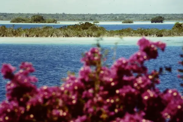
Bacalar Lagoon is the relaxed part of the trip. The town sits on its west side and was founded by the Spanish in the 16th century. A full day for swimming and boats is enough. For boat trips and tickets around Cancún and Tulum*, compare ahead.
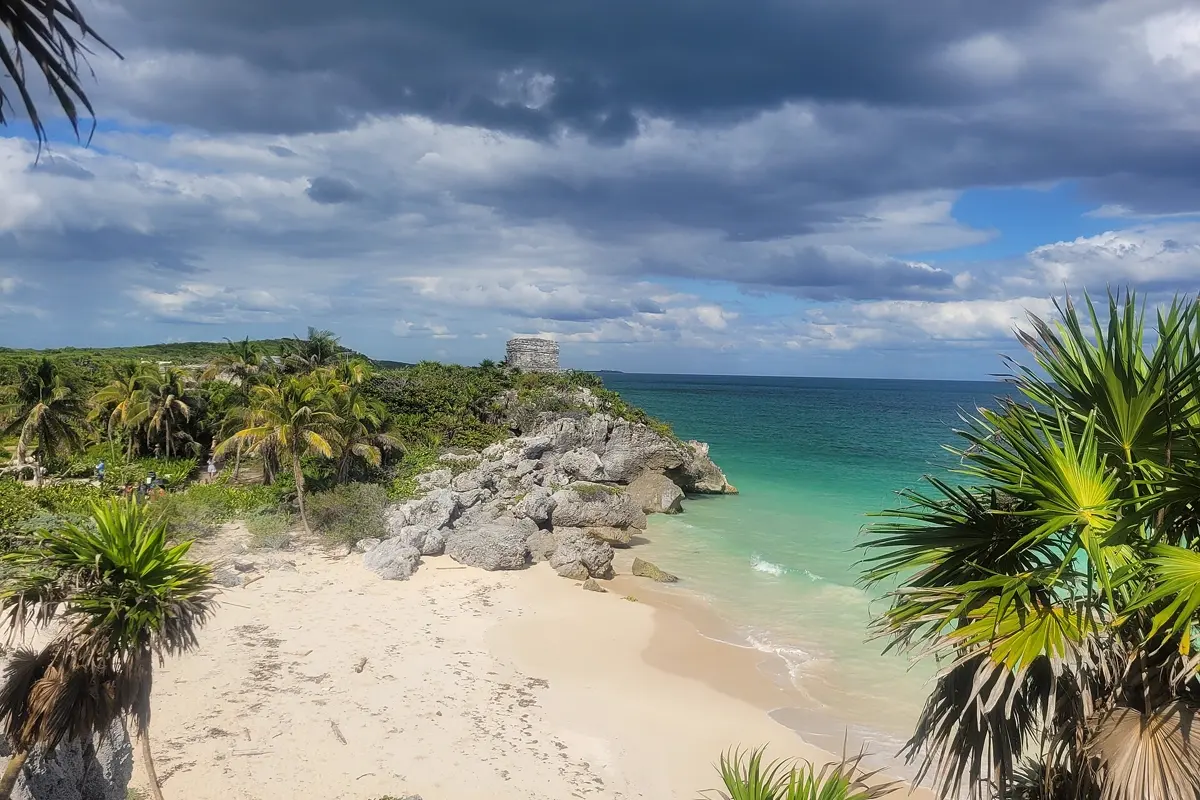
Tulum is unlike every other site on this loop because it sits right on the sea: the walled Maya port stands on 12-metre cliffs above the Caribbean and served as a port for Cobá. On the last day it is just 1:31 h to the airport, with room for an afternoon flight.
Sargassum is the one thing you can't plan. Drifting brown seaweed has arrived in large quantities on Caribbean beaches in recent years. If the beach matters to you, check the current state shortly before you go, and keep Bacalar or a cenote as a fallback, since it doesn't matter there.
Where to stay on this route
- Valladolid: in the centre, walking distance to the main square, and early at Chichén Itzá.
- Mérida: near Plaza Grande or on Paseo de Montejo; the car can stay parked here.
- Tulum: in town or in the beach zone; after dark, keep to busy streets as the FCDO suggests.
Best time for the loop
The Atlantic hurricane season runs from 1 June to 30 November. Add the heat inland and the rainy season, and the window narrows:
| Month | Mérida day | Mérida rain | Tulum day | Tulum rain |
|---|---|---|---|---|
| January | 28.3 °C | 25 mm | 26.7 °C | 68 mm |
| February | 30.2 °C | 19 mm | 27.3 °C | 41 mm |
| March | 33.0 °C | 16 mm | 28.3 °C | 41 mm |
| April | 35.5 °C | 20 mm | 29.4 °C | 43 mm |
| May | 35.9 °C | 42 mm | 30.1 °C | 97 mm |
| June | 33.8 °C | 151 mm | 29.8 °C | 253 mm |
| September | 33.3 °C | 101 mm | 30.6 °C | 178 mm |
| December | 29.2 °C | 31 mm | 27.3 °C | 77 mm |
Climate: monthly averages 2015–2024 from the ERA5 reanalysis (Open-Meteo), rounded. January to March is the best time: Mérida isn't yet as hot as in April and May, and even the Caribbean side gets little rain.
Good to know before you go
- Entry: check the current rules on gov.uk or with your own government.
- Flights: from London, direct flights to Cancún take about 10.5 hours.
- Taxis: at airports use only authorised pre-paid services, and elsewhere official "sitio" taxis.
- Cash: pesos come in handy at roadside stalls, markets and cenotes.
- Mobile data: our eSIM comparison for Mexico shows the plans for navigating the loop.
- Also useful: a week without a car looks very different, for example in Mexico City. For tropical nature with rainforest, compare our Costa Rica itinerary.
How YesTrip helps with this trip
Set up the loop as one trip in YesTrip. The map shows all eight stops, the AI builds day plans for Mérida and Valladolid, and the forecast for your travel days helps you schedule the ruins you'd rather see early in the morning. The packing list suggests the right clothes, and the offline package stores the maps for the long southern stretch, where you shouldn't rely on signal. Travelling with others, you share the trip and expenses. You book with each provider.
* Ad – Partner link: if you book there, we earn a commission. Your price stays the same.
Free
Plan your trip in 30 seconds.
Tell YesTrip where and when – the app plans day by day with real places on the map, shows the weather, splits costs with your travel companions and guides you to the next stop on the go.
Frequently asked questions
How many days do you need for a Yucatan road trip?
Ten days cover the whole loop via Valladolid, Chichén Itzá, Mérida, Uxmal, Campeche, Bacalar and Tulum. An eleventh day lets you split the long leg at Xpujil.
Is it safe to drive around the Yucatan?
Quintana Roo, Yucatán and Campeche are not among the states the FCDO advises against. Still, avoid driving at night on non-toll roads, use toll roads where you can, and be careful after dark in downtown Cancún and Tulum.
What is the longest drive on the Yucatan loop?
Campeche to Bacalar, at 419 km and just over 6 hours of pure driving. All other legs take a little over 3 hours at most, not counting breaks.
Can you climb the pyramid at Chichén Itzá?
No. The Pyramid of Kukulkán has been closed to climbing since 2006. You can still walk around all the monuments.
When is the best time to visit the Yucatan?
January to March. Mérida has 28 to 33 °C by day and 16 to 25 mm of rain a month then. The hurricane season runs from 1 June to 30 November.
Sources
- Driving times: OSRM route calculation based on OpenStreetMap data – project-osrm.org
- Climate: Open-Meteo Historical Weather API (ERA5), averages 2015–2024 – open-meteo.com
- Regional warnings: UK Foreign Travel Advice – www.gov.uk
- Safety, driving, taxis: UK Foreign Travel Advice – www.gov.uk
- Entry requirements: UK Foreign Travel Advice – www.gov.uk
- Safety advice for Mexico: German Foreign Office – www.auswaertiges-amt.de
- Hurricane season: National Hurricane Center (NOAA) – www.nhc.noaa.gov
- Stations and route: Tren Maya – www.trenmaya.gob.mx
- Railway sections: Wikipedia – en.wikipedia.org
- Chichén Itzá and the climbing ban: Wikipedia – en.wikipedia.org
- Uxmal: Wikipedia – en.wikipedia.org
- Mérida: Wikipedia – en.wikipedia.org
- Campeche: Wikipedia – en.wikipedia.org
- Bacalar: Wikipedia – en.wikipedia.org
- Tulum: Wikipedia – en.wikipedia.org
- Calakmul: Wikipedia – en.wikipedia.org
- Sargassum: Wikipedia – en.wikipedia.org
Researched with AI support and checked by our editors. Prices, opening hours and weather can change – please check before you go. YesTrip is not a travel agency. Published: .
More articles
 Road trips & itineraries
Amalfi Coast itinerary: 5 days, no car needed
This 5-day route runs from Pompeii through Sorrento, Positano, Amalfi and Ravello to Salerno, with no car. Travelmar lists the boat from … · 9 min read Road trips & itineraries
Australia East Coast itinerary: 3 weeks by car
This Australia East Coast itinerary takes 21 days from Sydney via Byron Bay, Noosa, K'gari and the Whitsundays to Cairns and Port Douglas, … · 7 min read Road trips & itineraries
Bali itinerary: 2 weeks, 5 bases, no scooter
This 14-day loop covers about 410 km and almost 7 hours of pure driving through Ubud, Sidemen, Amed, Munduk and Uluwatu, by car with a … · 8 min read


