
Switzerland · 3 days · 16 stops
3 days in Zurich – a ready-made itinerary
Zurich is small, clean and right on the lake. Day one covers the old town on both banks of the Limmat, day two art and the lakeside, and day three the Uetliberg and the former industrial district. Each day's stops are in walking order.
In short
- Length
- 3 days, 16 stops
- Highlights
- Bahnhofstrasse, Kunsthaus Zürich, Uetliberg, Lindenhof, Fraumünster
- Where to stay
- Old town and Niederdorf, Districts 4 and 5
- Getting around
- The old town is small and walkable.
- Best time to go
- May to September is best, when you can swim in the lake and sit outside.
Free, sign in with an email code. In the app you only pick your start date and adjust the plan.
Plan created with AI support – please check opening hours, prices and routes before you go. YesTrip editorial team · Updated: .
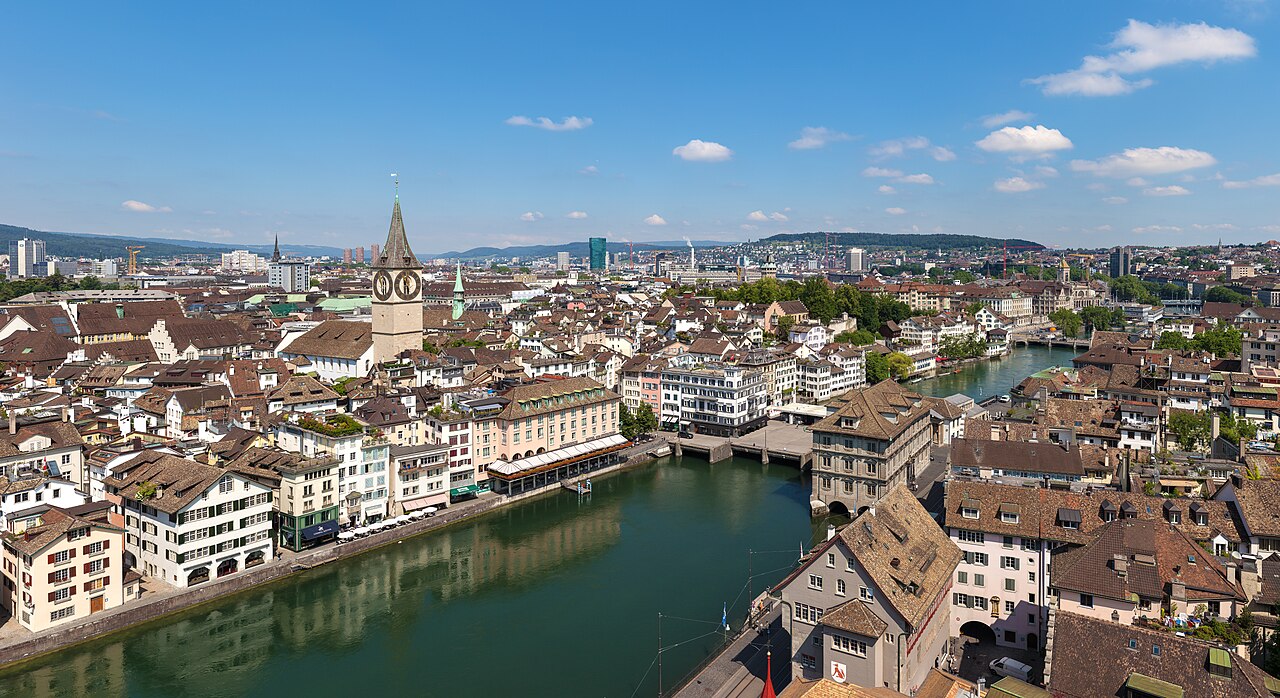
Day 1
Old town on the Limmat

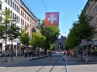
Bahnhofstrasse
The famous shopping street from the main station towards the lake. Still quiet in the morning for a stroll.
On the map (OpenStreetMap): Bahnhofstrasseabout 5 min on foot
Lindenhof
A quiet square under lime trees on a hill, looking across the Limmat to the old town and universities.
On the map (OpenStreetMap): Lindenhofabout 5 min on foot
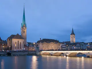
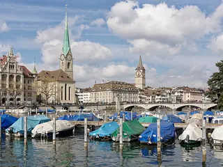
Fraumünster
Church with five stained-glass windows by Marc Chagall in the choir. Entry with a ticket – check opening hours.
On the map (OpenStreetMap): Fraumünsterright next door
Confiserie Sprüngli on Paradeplatz
A traditional confectioner since the 19th century. Try the Luxemburgerli, small macarons.
On the map (OpenStreetMap): Confiserie Sprüngli on Paradeplatzabout 5 min on foot
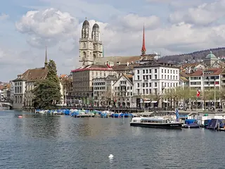
Grossmünster
The church with two towers, where the Reformation in Zurich began. One tower is open to climb.
On the map (OpenStreetMap): Grossmünsterabout 5 min on foot
Niederdorf
The old-town lanes on the right bank of the Limmat, with bars and restaurants for the evening.
On the map (OpenStreetMap): Niederdorf
Day 2
Kunsthaus, the universities and the lakeside

Kunsthaus Zürich
A large art museum with works by Munch, Monet and Giacometti. Often closed on Mondays – check first.
On the map (OpenStreetMap): Kunsthaus Zürichabout 10 min on foot
ETH Polyterrasse
The terrace in front of the university, with a view over the city and the Limmat. The little Polybahn funicular runs down.
On the map (OpenStreetMap): ETH Polyterrasseabout 2.5 km as the crow flies – by bus, train or taxi
Zürichhorn
A lakeside park with lawns and a view of the mountains. In summer lots of people swim in the lake.
On the map (OpenStreetMap): Zürichhornabout 5 min on foot
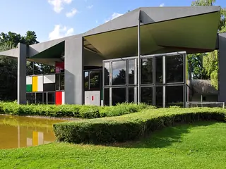
Pavillon Le Corbusier
Le Corbusier's last building, colourful steel and glass. Usually open only in the warmer half of the year – check first.
On the map (OpenStreetMap): Pavillon Le CorbusierBoat from Zürichhorn or tram back to Bürkliplatz, about 15 minutes.
Boat trip on Lake Zurich
Scheduled boats cross the lake from Bürkliplatz. Even a short round trip shows the shores and the Alps.
On the map (OpenStreetMap): Boat trip on Lake Zurich
Day 3
Uetliberg and Zurich West
The S10 runs up the Uetliberg from the main station, about 25 minutes. From the top station it is about a 10-minute walk to the summit.

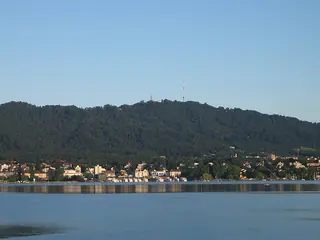
Uetliberg
Zurich's local mountain with a lookout tower. On a clear day you see the city, the lake and the Alps.
On the map (OpenStreetMap): UetlibergS10 back to the main station, about 25 minutes.
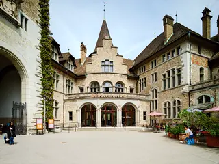
Swiss National Museum
The national museum in a castle-like building next to the main station, covering Swiss history from the Stone Age to today.
On the map (OpenStreetMap): Swiss National MuseumTram to Zurich West, about 10 minutes.
Im Viadukt
Shops, cafés and a market hall in the arches of an old railway viaduct.
On the map (OpenStreetMap): Im Viaduktabout 5 min on foot
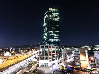
Prime Tower
One of the tallest buildings in Switzerland. At the top there is a restaurant and bar with a view over the city.
On the map (OpenStreetMap): Prime Towerright next door
Frau Gerolds Garten
A garden venue built from containers by the railway tracks – an urban garden in summer, a fondue hut in winter.
On the map (OpenStreetMap): Frau Gerolds Garten
Good to know
Best time to go
May to September is best, when you can swim in the lake and sit outside. Winter is cold and often grey, but there are Christmas markets. Zurich is expensive all year, so budget accordingly.
Getting around
The old town is small and walkable. Trams, buses, the S-Bahn and the lake boats are all part of the same network; buy tickets from machines or via the app. Trains take about 10–15 minutes from the airport to the main station.
Where to stay
Old town and Niederdorf
Right in the centre, with everything walkable. Lively in the evening; hotels are expensive and often small.
Districts 4 and 5
Around Langstrasse and Zurich West – a bit cheaper, with lots of bars. Loud at weekends, quick to the old town by tram.
Your plan
Start with this plan.
Copy it into YesTrip, pick your dates and make it yours: move stops, drop them or let the AI add more. On the road the app shows you the next stop and how to get there.
Zurich: frequently asked questions
Are 3 days enough for Zurich?
Yes, the city is compact. With more time, take a trip to Lucerne, the Rhine Falls or up a mountain in the Alps.
Is the Zürich Card worth it?
It covers public transport and discounts at many museums. Do the maths: if you only visit a few museums, a day ticket is often enough.
Can you pay in euros in Zurich?
Sometimes, but usually at poor rates and with change in francs. Paying by card in francs is better.
Can you swim in Lake Zurich?
Yes, in summer there are many bathing spots on the lake and the Limmat. Some charge admission; the lakeside lawns are free.
Plan created with AI support – please check opening hours, prices and routes before you go. Coordinates checked with Wikipedia and OpenStreetMap (Photon). Photo: Thomas Wolf, www.foto-tw.de, CC BY-SA 3.0 de, via Wikimedia Commons. More in Sources & licences. YesTrip is a trip planner, not a travel agency – nothing is booked.
More trip plans
 Italy · 3 days
Milan
Photo: Jiuguang Wang, CC BY-SA 3.0, via Wikimedia Commons
 Slovenia · 3 days
Ljubljana
Photo: Andrew Milligan Sumo, CC BY 2.0, via Wikimedia Commons
 Germany · 3 days
Munich
Photo: Diliff, CC BY 2.5, via Wikimedia Commons


_(33286165680).jpg)
