
Norway · 3 days · 14 stops
3 days in Oslo – a ready-made itinerary
Oslo sits at the end of a long fjord, with forest and hills right behind the city. Day one is about the harbour, day two the museums on the Bygdøy peninsula, day three Holmenkollen and the centre. The stops are in walking order; for longer distances you take the metro, a bus or a ferry.
In short


- Length
- 3 days, 14 stops
- Highlights
- Oslo Opera House, Norwegian Museum of Cultural History, Holmenkollen, MUNCH, Akershus Fortress
- Where to stay
- Sentrum, Grünerløkka
- Getting around
- The centre and the harbour are easy on foot.
- Best time to go
- From May to September the days are long and you can sit outside by the water.
Free, sign in with an email code. In the app you only pick your start date and adjust the plan.
Plan created with AI support – please check opening hours, prices and routes before you go. YesTrip editorial team · Updated: .
Day 1
Opera, Munch and the harbour

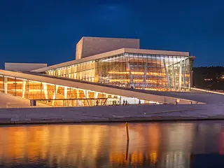
Oslo Opera House
The white opera house on the water. You can walk up the sloping roof all the way to the top.
On the map (OpenStreetMap): Oslo Opera Houseright next door
MUNCH
The Edvard Munch museum in the tall new building on the harbour, with versions of The Scream. Great fjord views from the top.
On the map (OpenStreetMap): MUNCHabout 15 min on foot
Akershus Fortress
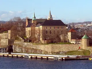
A medieval fortress above the harbour. Walk along the ramparts with views of the fjord.
On the map (OpenStreetMap): Akershus Fortressabout 10 min on foot
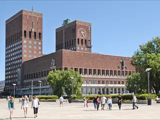
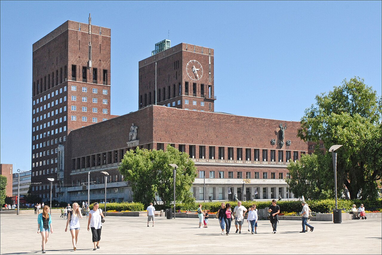
Oslo City Hall
The brick building with two towers. The Nobel Peace Prize is awarded here every year.
On the map (OpenStreetMap): Oslo City Hallabout 5 min on foot
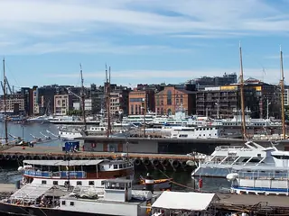
Aker Brygge and Tjuvholmen
The old shipyard is now a waterfront promenade with restaurants. At the tip of Tjuvholmen there is a small beach.
On the map (OpenStreetMap): Aker Brygge and Tjuvholmen
Day 2
Bygdøy museums and Vigeland Park
Buses run from the centre to Bygdøy, and in the warmer months a ferry leaves from the City Hall pier, each about 15–20 minutes.

Norwegian Museum of Cultural History
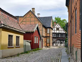
Open-air museum with old farmsteads and town houses. The highlight is the medieval Gol stave church.
On the map (OpenStreetMap): Norwegian Museum of Cultural Historyabout 15 min on foot
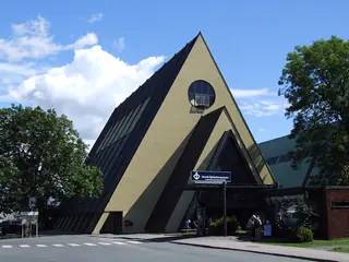
Fram Museum
The polar ship Fram, sailed by Nansen and Amundsen. You can go on board.
On the map (OpenStreetMap): Fram Museumright next door
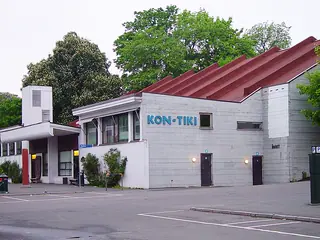
Kon-Tiki Museum
The raft Thor Heyerdahl sailed across the Pacific in 1947. Right opposite the Fram Museum.
On the map (OpenStreetMap): Kon-Tiki MuseumBus or ferry back to the centre, then tram to Frogner Park, about 30 min
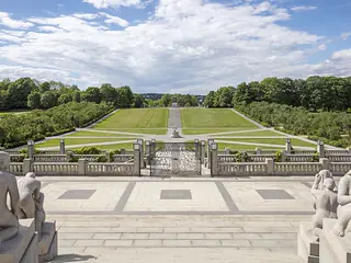
Vigeland Park
More than 200 sculptures by Gustav Vigeland in Frogner Park. The park is open to all, also in the evening.
On the map (OpenStreetMap): Vigeland Park
Day 3
Holmenkollen, the centre and Grünerløkka
The metro (T-bane) towards Frognerseteren goes to Holmenkollen, about 25 minutes from the centre.

Holmenkollen
The ski jump above the city, with a ski museum. From the jump tower you see far across the Oslofjord.
On the map (OpenStreetMap): HolmenkollenMetro back to Nationaltheatret, about 25 min
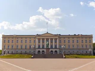
Royal Palace
The palace at the end of Karl Johans gate. The park is open; guided tours inside only in summer.
On the map (OpenStreetMap): Royal Palaceabout 15 min on foot
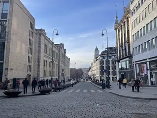
Karl Johans gate
The main street from the palace to the station, past the National Theatre, the university and Parliament.
On the map (OpenStreetMap): Karl Johans gateabout 20 min on foot
Mathallen
Food hall on the Akerselva river with stalls and small eateries – good for a late lunch.
On the map (OpenStreetMap): Mathallenabout 5 min on foot
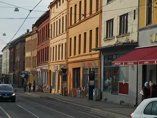
Grünerløkka
A former working-class district with cafés, second-hand shops and bars. Good for the evening.
On the map (OpenStreetMap): Grünerløkka
Good to know
Best time to go
From May to September the days are long and you can sit outside by the water. In June it hardly gets dark. Winter is cold and dark early, but the hills around the city are often covered in snow.
Getting around
The centre and the harbour are easy on foot. Metro (T-bane), trams, buses and the harbour ferries are one network; buy tickets at the machines or via the app. From Gardermoen airport an express train and regional trains run to the centre.
Where to stay
Sentrum
Around Karl Johans gate and Central Station. Central, well connected and close to the harbour.
Grünerløkka
The district with cafés and bars north of the centre. More relaxed and good for evenings, with trams to the centre.
Your plan
Start with this plan.
Copy it into YesTrip, pick your dates and make it yours: move stops, drop them or let the AI add more. On the road the app shows you the next stop and how to get there.
Oslo: frequently asked questions
Are 3 days enough for Oslo?
Yes, for the harbour, Bygdøy and Holmenkollen. With more time, take a boat to the islands in the Oslofjord or go hiking in the Nordmarka forest.
Is Oslo expensive?
Yes, especially food and alcohol. Save money with food halls, bakeries and supermarkets. Many parks and viewpoints are free.
Is the Oslo Pass worth it?
Often yes, if you visit several museums in a day and use public transport. Add up entry prices and fares before you buy.
Can I pay by card in Oslo?
Almost everywhere, even for small amounts. You will hardly need Norwegian kroner in cash.
Plan created with AI support – please check opening hours, prices and routes before you go. Coordinates checked with Wikipedia and OpenStreetMap (Photon). Photo: Jean-Pierre Dalbéra from Paris, France, CC BY 2.0, via Wikimedia Commons. More in Sources & licences. YesTrip is a trip planner, not a travel agency – nothing is booked.
More trip plans
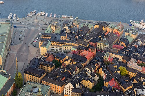 Sweden · 3 days
Stockholm
Photo: Arild Vågen, CC BY-SA 4.0, via Wikimedia Commons
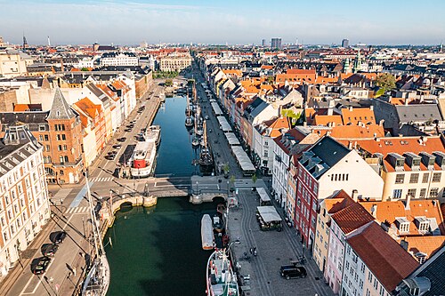 Denmark · 3 days
Copenhagen
Photo: European Commission, CC BY 4.0, via Wikimedia Commons
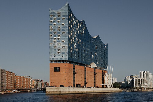 Germany · 3 days
Hamburg
Photo: Evgenii Salganik, CC BY 4.0, via Wikimedia Commons

.jpg)


