
USA · 3 days · 16 stops
3 days in New York – a ready-made itinerary
New York is big, loud and surprisingly walkable. Three days are enough for Manhattan's best-known corners: the south with the Brooklyn Bridge, Midtown with Central Park and the neighbourhoods along the High Line. Each day covers one part of the city, and the stops are in walking order.
In short


- Length
- 3 days, 16 stops
- Highlights
- 9/11 Memorial, Metropolitan Museum of Art, High Line, Wall Street and the Stock Exchange, Brooklyn Bridge
- Where to stay
- Midtown, Lower East Side and the Village
- Getting around
- Manhattan is a grid of avenues and streets, and you can cover a lot on foot.
- Best time to go
- May to June and September to October are the most pleasant.
Free, sign in with an email code. In the app you only pick your start date and adjust the plan.
Plan created with AI support – please check opening hours, prices and routes before you go. YesTrip editorial team · Updated: .
Day 1
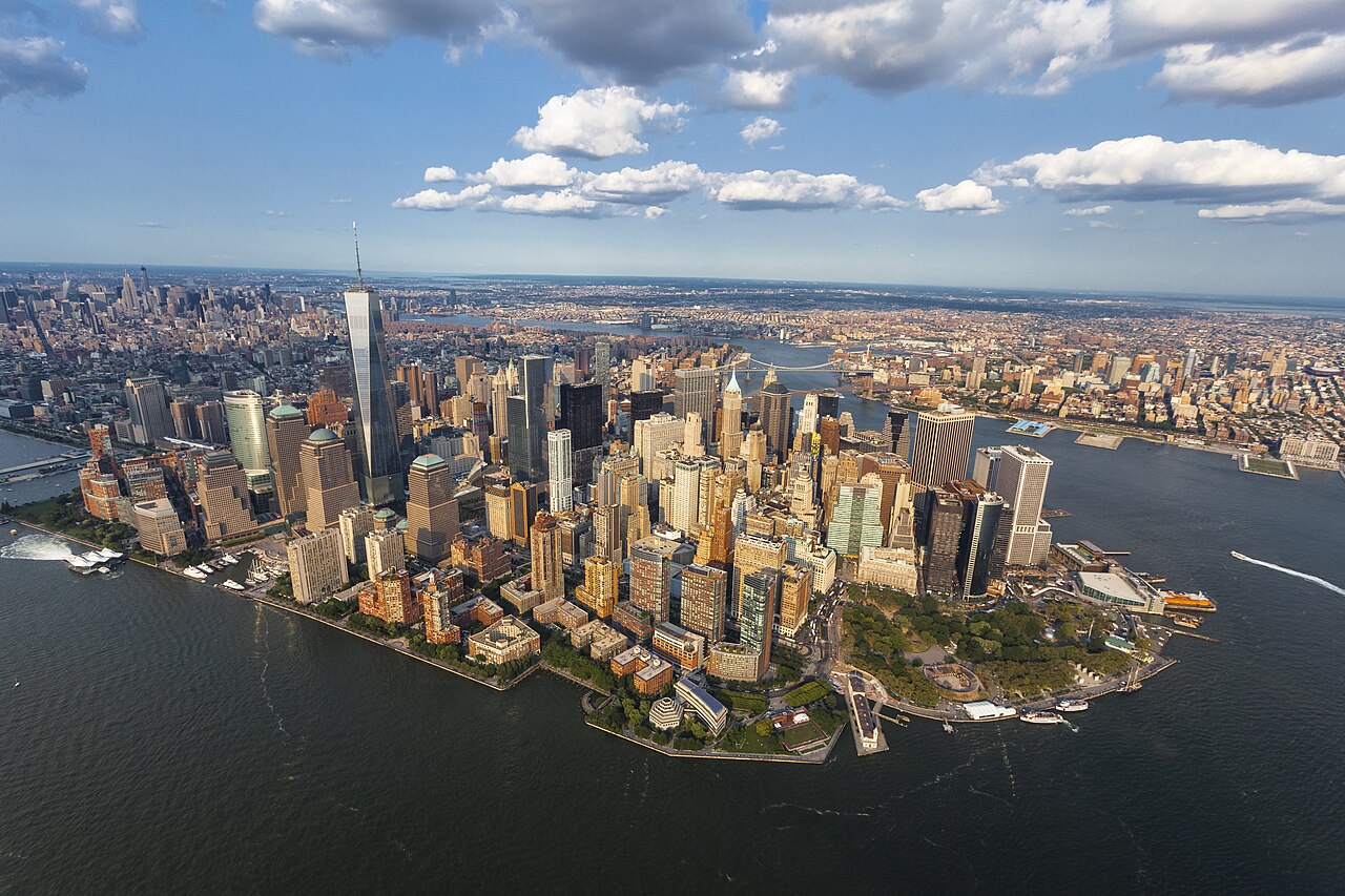
Lower Manhattan and the Brooklyn Bridge

9/11 Memorial
Two pools where the World Trade Center towers stood. Allow about 2 hours for the museum.
On the map (OpenStreetMap): 9/11 Memorialabout 10 min on foot
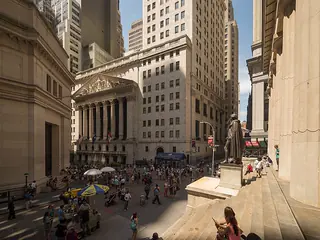
Wall Street and the Stock Exchange
The stock exchange with its columned façade, Federal Hall opposite. Full of office workers on weekdays.
On the map (OpenStreetMap): Wall Street and the Stock Exchangeabout 10 min on foot
Staten Island Ferry
A free ferry to Staten Island and back, past the Statue of Liberty. About 1 hour for the round trip.
On the map (OpenStreetMap): Staten Island Ferryabout 25 min on foot
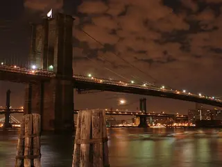
Brooklyn Bridge
Walk the footpath to Brooklyn, about 30 minutes. Early afternoon is quieter than sunset.
On the map (OpenStreetMap): Brooklyn Bridgeabout 15 min on foot
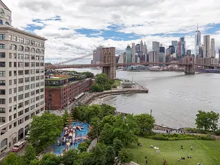
DUMBO and Brooklyn Bridge Park
Cobblestones under the Manhattan Bridge and waterfront lawns facing the skyline. Good until evening.
On the map (OpenStreetMap): DUMBO and Brooklyn Bridge Park
Day 2
Central Park and Midtown

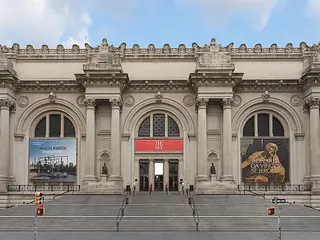
Metropolitan Museum of Art
One of the largest art museums in the world. Pick two or three departments – nobody sees it all.
On the map (OpenStreetMap): Metropolitan Museum of Artabout 15 min on foot
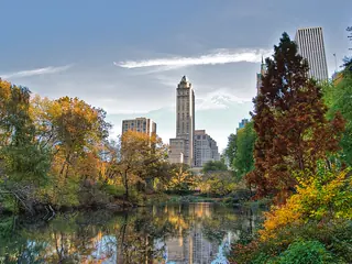
Bethesda Terrace in Central Park
A terrace with a fountain by the lake, in the middle of the park. From here stroll south along the Mall.
On the map (OpenStreetMap): Bethesda Terrace in Central Parkabout 30 min on foot
Rockefeller Center
Art Deco complex on Fifth Avenue. From Top of the Rock you see the Empire State Building – book a time slot.
On the map (OpenStreetMap): Rockefeller Centerabout 10 min on foot
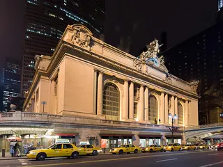
Grand Central Terminal
A station concourse with a starry sky on the ceiling. There is a food court downstairs.
On the map (OpenStreetMap): Grand Central Terminalabout 5 min on foot
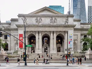
New York Public Library
The main library with its reading room, and Bryant Park behind it for a break.
On the map (OpenStreetMap): New York Public Libraryabout 10 min on foot

Times Square
Neon signs and Broadway theatres. Brightest – and busiest – in the evening.
On the map (OpenStreetMap): Times Square
Day 3
High Line, the Village and the Lower East Side

High Line
A park on an old elevated railway. Walk south from Hudson Yards, about 1 hour with breaks.
On the map (OpenStreetMap): High Lineabout 10 min on foot
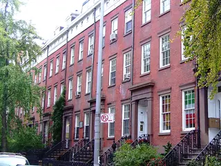
Chelsea Market
A market hall in a former biscuit factory, with plenty of stalls for an early lunch.
On the map (OpenStreetMap): Chelsea Marketabout 25 min on foot

Washington Square Park
The park with the arch in Greenwich Village. Street musicians, chess players, NYU students.
On the map (OpenStreetMap): Washington Square Parkabout 25 min on foot
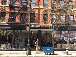
Tenement Museum
Apartments showing how immigrants lived around 1900. Guided tours only – book ahead.
On the map (OpenStreetMap): Tenement Museumabout 5 min on foot
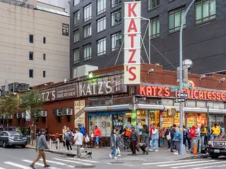
Katz's Delicatessen
A deli from 1888, known for pastrami sandwiches. Don't lose the ticket you get at the door.
On the map (OpenStreetMap): Katz's Delicatessen
Good to know
Best time to go
May to June and September to October are the most pleasant. July and August are often humid and above 30 °C, and winter can be very cold. Around Christmas the city is especially crowded.
Getting around
Manhattan is a grid of avenues and streets, and you can cover a lot on foot. For longer distances take the subway, which runs around the clock; you can pay contactless at the turnstile. Trains, AirTrain and buses run from the airports into the city; taxis cost a lot more.
Where to stay
Midtown
Central, with lots of hotels and subway lines in every direction. Very busy around Times Square in the evening.
Lower East Side and the Village
Lower buildings, bars and restaurants. Good if you prefer a neighbourhood feel in the evening to the high-rise bustle.
Your plan
Start with this plan.
Copy it into YesTrip, pick your dates and make it yours: move stops, drop them or let the AI add more. On the road the app shows you the next stop and how to get there.
New York: frequently asked questions
Are 3 days enough for New York?
For a first taste of Manhattan, yes – but it is short for a long-haul trip. A fourth and fifth day leave room for Brooklyn and Williamsburg, the Statue of Liberty with Ellis Island, or a museum day.
How do I get from the airport into the city?
From JFK the AirTrain connects to the subway and commuter trains; from Newark the AirTrain runs to the railway station. Allow about 1 hour depending on traffic.
What should I sort out before the trip?
Check entry requirements with your government's travel advice before you go – many visitors need an authorisation before flying to the US. Book viewing decks and museums with time slots in advance.
Is a trip to the Statue of Liberty worth it?
If you want to go onto the island, book the ferry from Battery Park ahead and allow half a day. For the view, the free Staten Island Ferry is enough.
More plans for New York
- One dayOne day in New York: Midtown and Central ParkAbove the rooftops in the morning, Grand Central at lunch, Central Park in the afternoon, neon in the evening.
- WeekendA weekend in New York: Friday to SundayFriday views by night, Saturday Lower Manhattan and Brooklyn, Sunday the High Line and the Village before your flight.
- 5 days5 days in New York with Liberty and BeaconMidtown, museums by Central Park, the ferry to Liberty, the Whitney and the High Line – plus a day in the Hudson Valley.
- With kidsNew York with kids: 2 easy daysDinosaurs, a playground and the zoo in Central Park, then ferries, carousels and pizza in Brooklyn.
- On a budgetNew York on a budget: 2 days, mostly freeA free ferry, a bridge, a park on old rail tracks and Central Park, plus dumplings in Chinatown – New York needn't cost much.
Plan created with AI support – please check opening hours, prices and routes before you go. Coordinates checked with Wikipedia and OpenStreetMap (Photon). Photo: Daniele Pieroni, CC BY-SA 2.0, via Wikimedia Commons. More in Sources & licences. YesTrip is a trip planner, not a travel agency – nothing is booked.
More trip plans
 Ireland · 3 days
Dublin
Photo: unbekannt, Public Domain, via Wikimedia Commons
 Portugal · 3 days
Porto
Photo: Deensel, CC BY 2.0, via Wikimedia Commons
 Portugal · 3 days
Lisbon
Photo: Arne Müseler, CC BY-SA 3.0 de, via Wikimedia Commons


.jpg)
